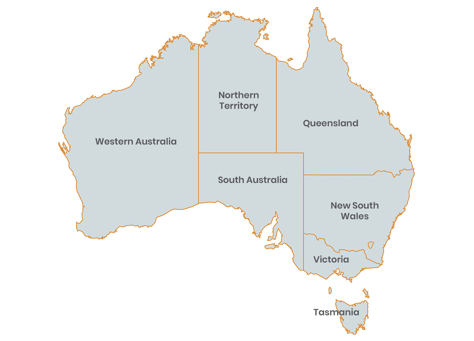
| Location: Location between the Indian and Pacific Oceans. |
| Geographic coordinates: Located in the southern hemisphere, stretching from 10 degrees south – 44 degrees south of latitude and 113 degrees east- 154 degrees east of longitude. |
| Area: 7,692,024 sq km with a continuo’s coastline of 20,000 kilometers. |
23,574,377, with more than two-thirds of urban population in major Cities (68%) and the remainder (32%) in regional and remote areas.
| LARGEST STATE: | Western Australia |
| SMALLEST STATE: | Tasmania |
| LARGEST CITIES: | Sydney, Melbourne, Brisbane, Perth, Adelaide, Gold Coast, Canberra, Newcastle, Wollongong, Logan City |
|
SMALLEST CITIES: |
Gerald ton, Bowral-Mittagong, Nowra-Bomaderry, Busselton Dubbo Kalgoorlie-Boulder. |
| LANGUAGES: | English, Italian (2.3%), Greek (1.6%), Cantonese (1.2%), Arabic (1.0%), Vietnamese (0.8%) |
