
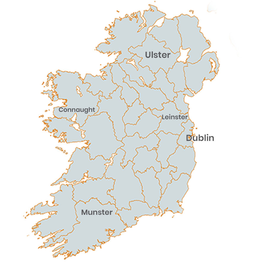
| Location: Ireland is an island in the North Atlantic. It is separated from Great Britain to its east by the North Channel, the Irish Sea, and St George's Channel. Ireland is the second-largest island of the British. |
| Geographic coordinates: 53.1424° N, 7.6921° W |
| Map references: UK |
| Area: total 84,421 km2 (32,595 sq mi) |
Ireland population is estimated at 4,937,786 people at mid year according to UN data.
